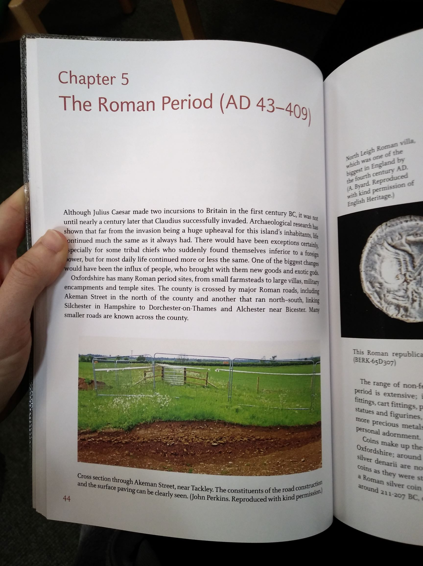
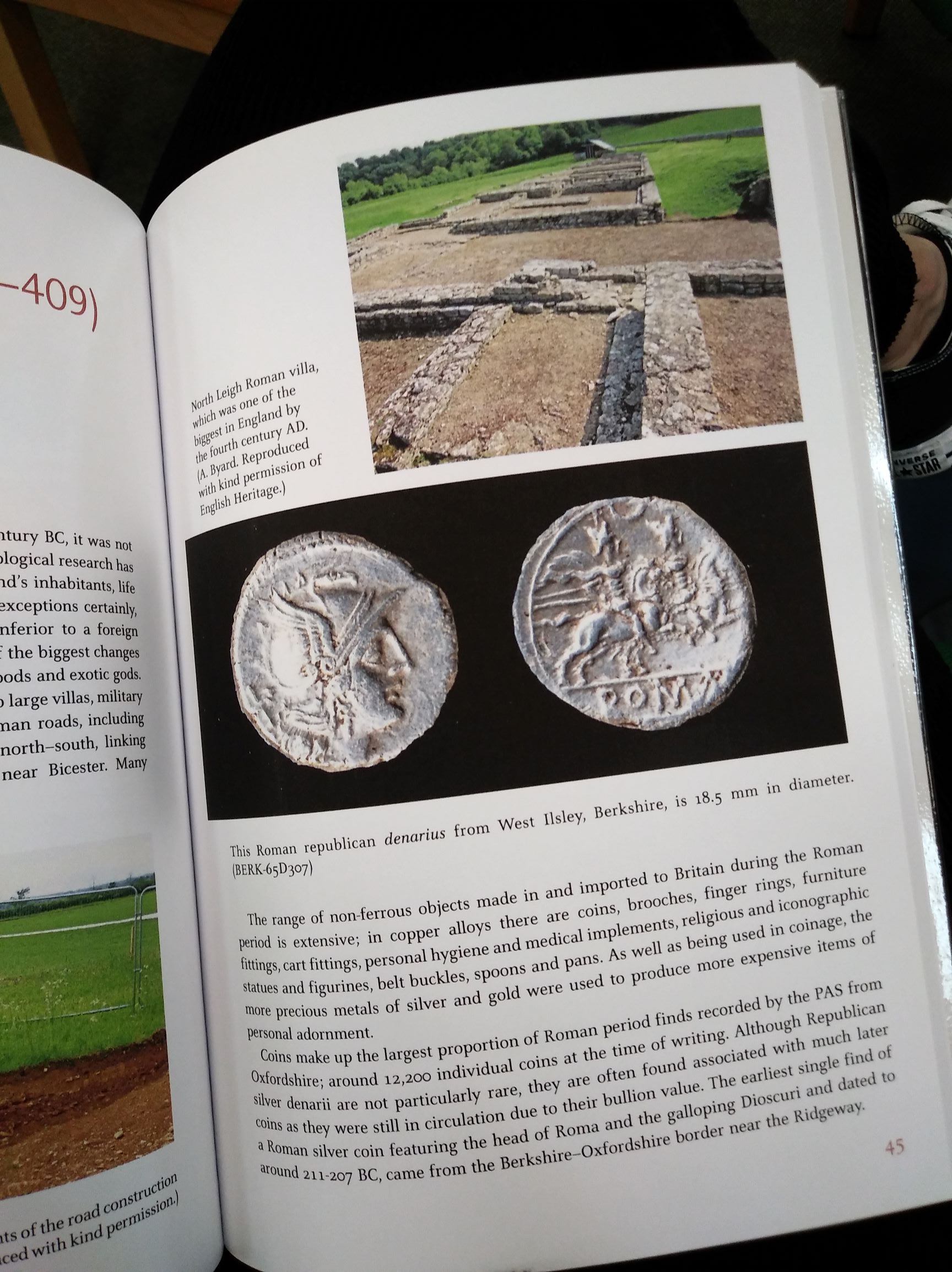
As well as exploring how individual items can store information from the past (e.g. coral and tree rings), I am also interested in exploring the way in which the landscape as a whole can store information. This could be in the traditional sense of archaeology – physical traces of human history trapped in the ground – or more widely as how the earth itself has been shaped, and is continuing to be shaped, by both human and environmental actions.
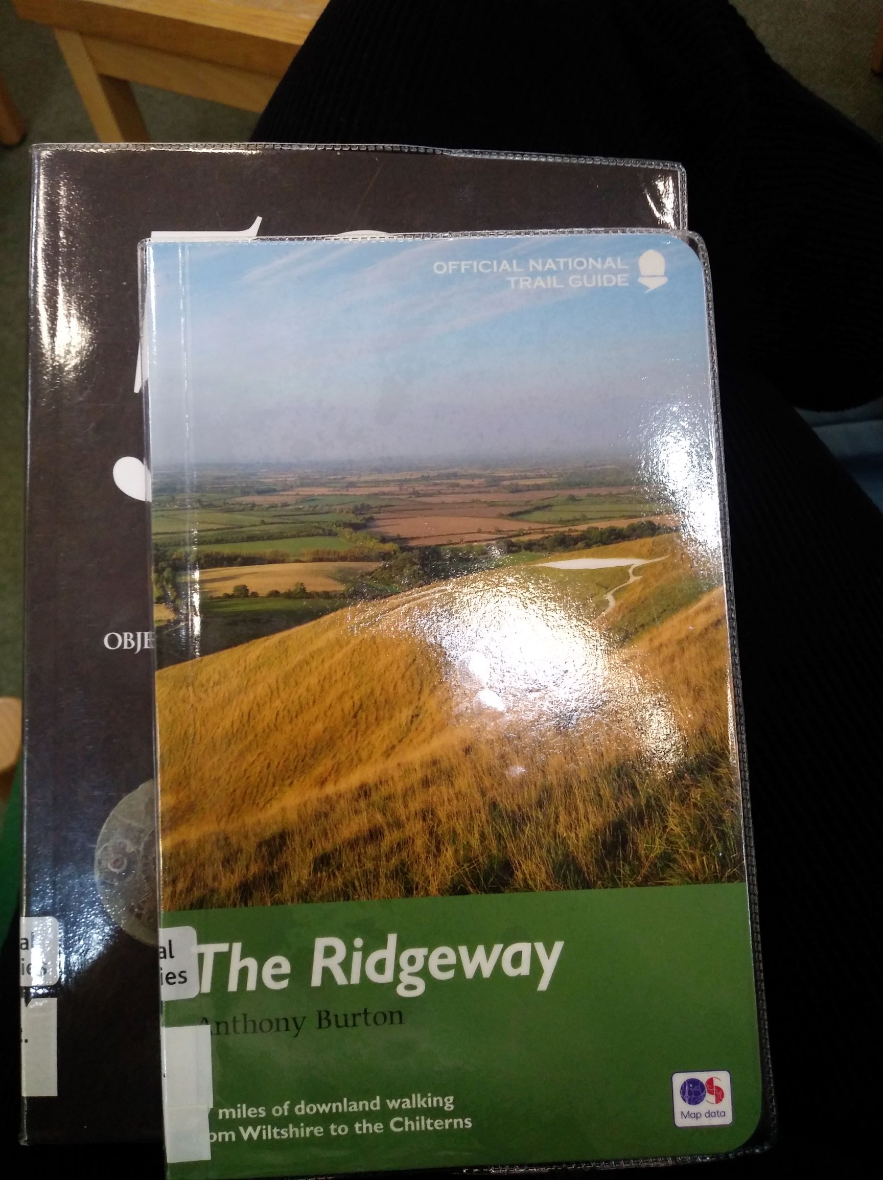
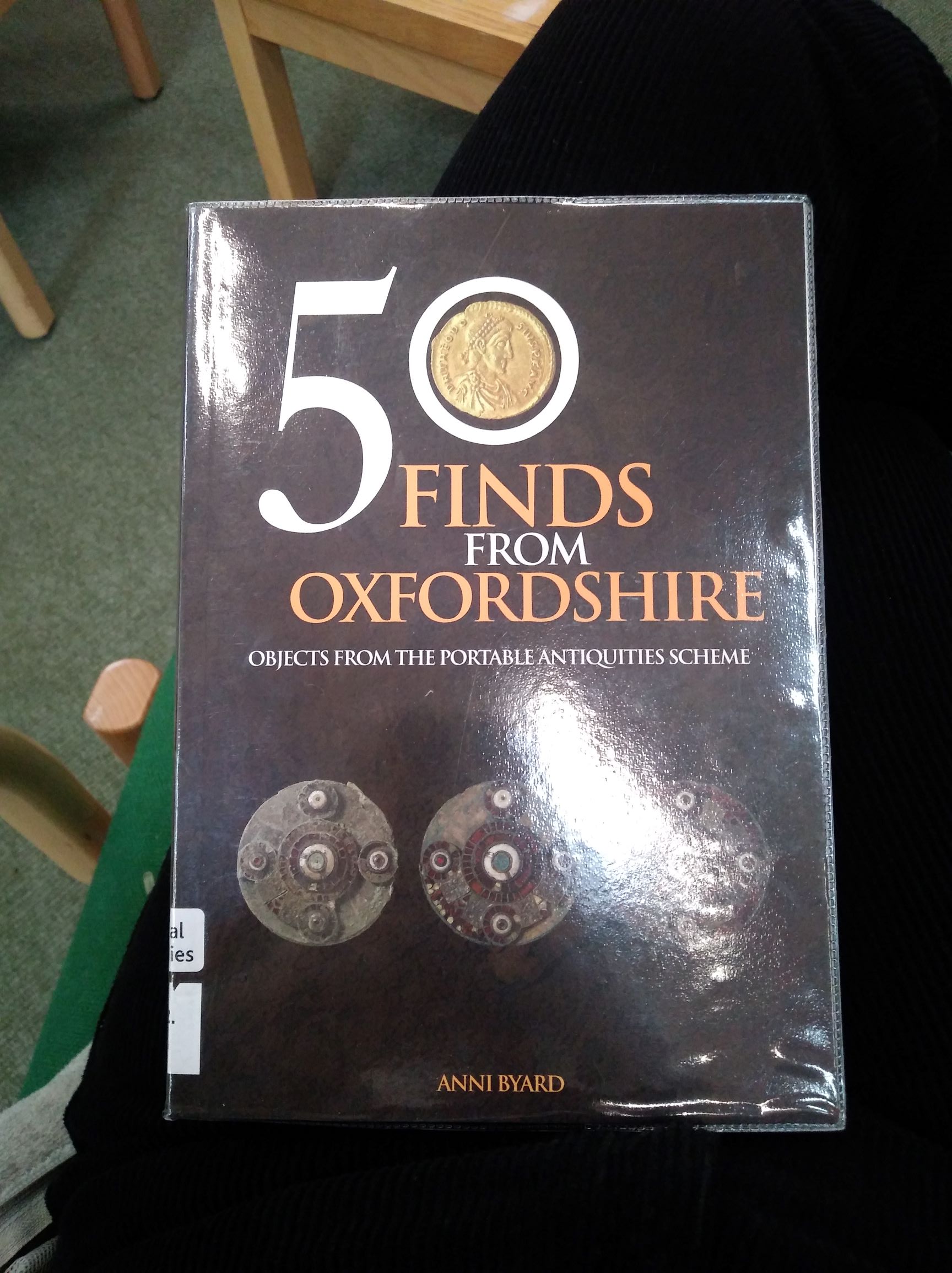
I thought I could use my local area as inspiration for this, particularly as I live quite near the Ridgeway, commonly known as Britain’s oldest road. Below are some pictures of some books about archaeological finds around Oxfordshire as a whole, and then also more specifically of the Ridgeway. I am also reading The Oldest Road: The Ridgeway by Fay Godwin and JRL Anderson for a more in-depth look at the history surrounding the area, but I will post the notes from that book on a separate post.
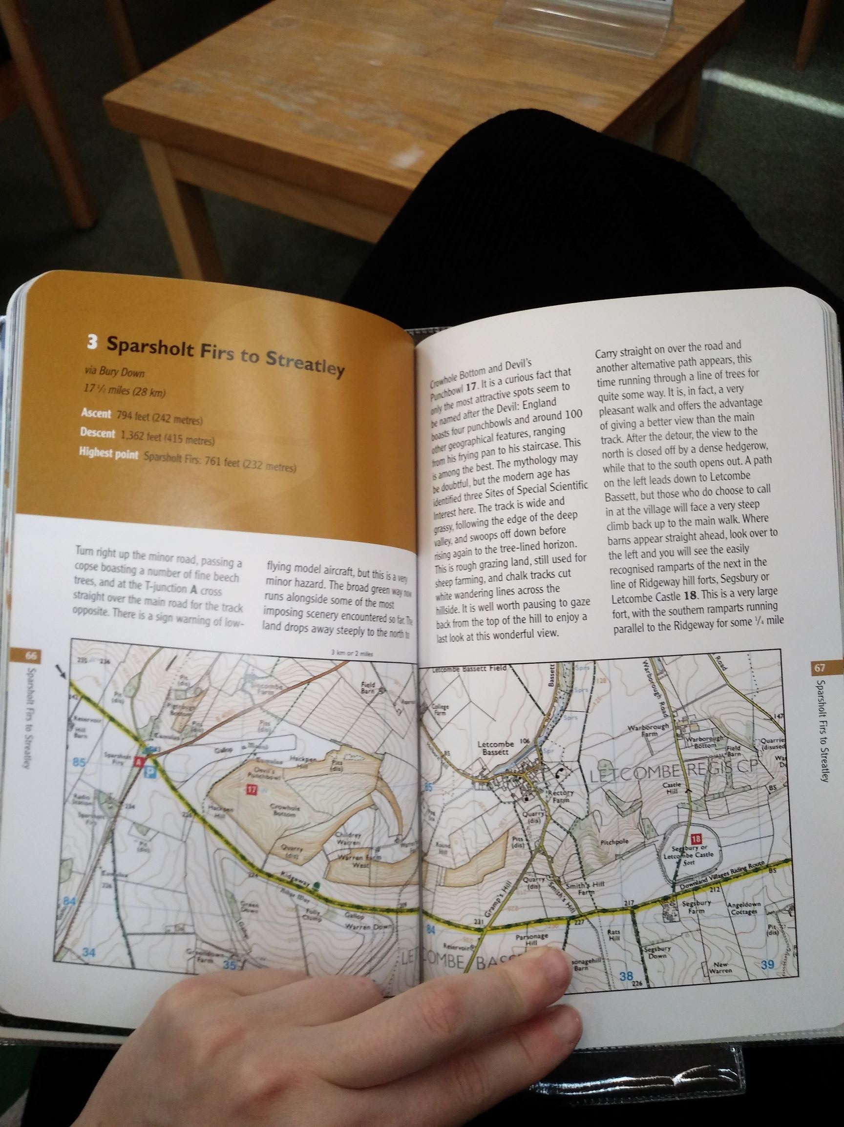
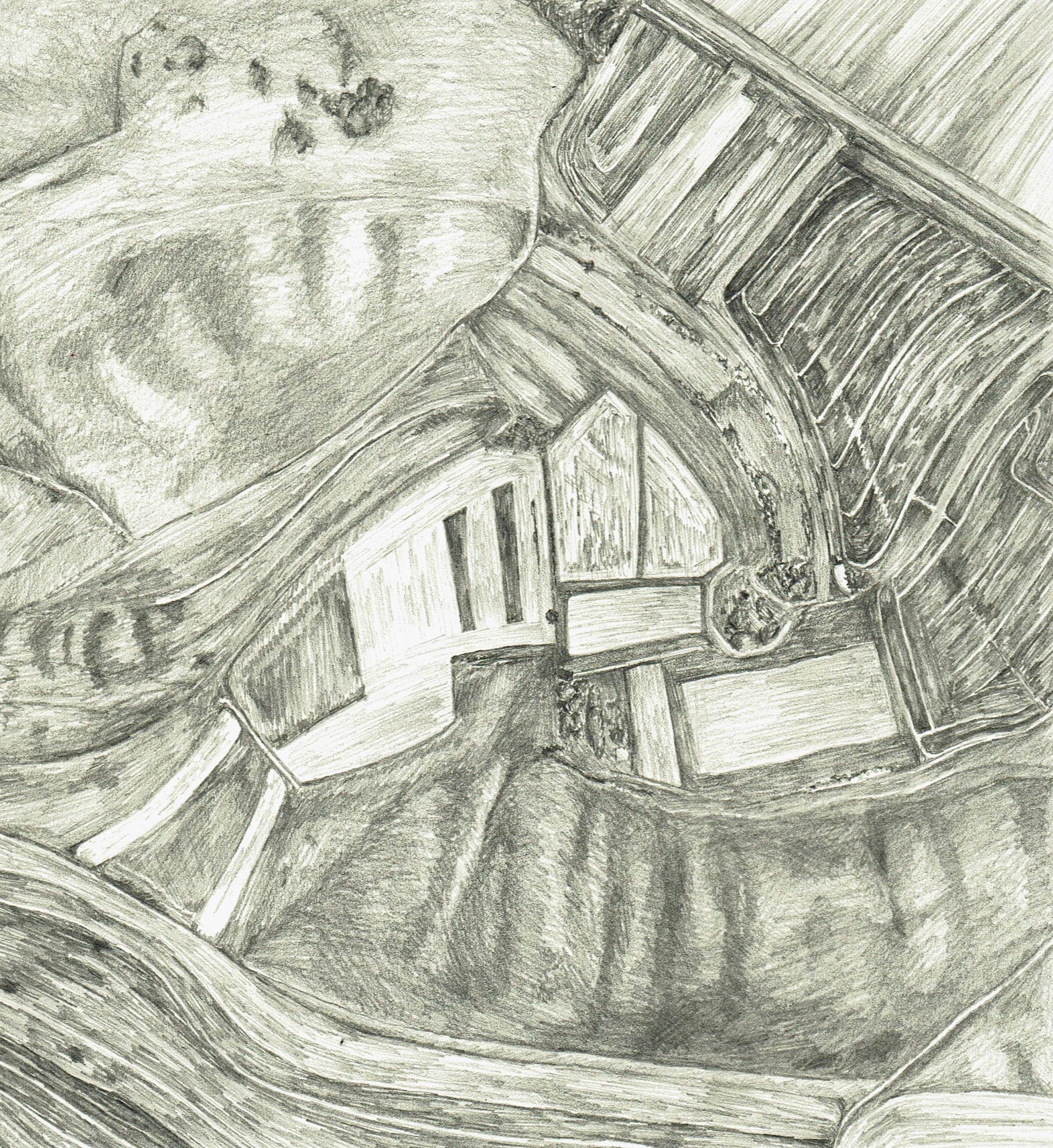
The Devil’s Punchbowl/Hackpen Hill/Childrey Warren (https://osmaps.ordnancesurvey.co.uk/51.56121,-1.48950,16) – an area of particular interest to me: I go there quite often to run and as such get to observe it in many conditions (perhaps I should consider collecting more imagery of this? or I could look back and collect what I do have?). It has always intrigued me geographically as it has a very distinctive shape (hence the description “punchbowl”) as well as being situated just off the Ridgeway, with all its associated history.
- https://historicengland.org.uk/listing/the-list/list-entry/1018718
- https://www.archaeology.co.uk/articles/unusual-iron-age-burial-uncovered-at-childrey.htm
- https://djnorwood.wordpress.com/2016/12/13/pits-dis/
- https://www.themodernantiquarian.com/site/9723/hackpen_hill_oxfordshire.html
- https://www.themodernantiquarian.com/latest.php/770/0/523 – “To the north of the punchbowl there is a hillock or tumulus, and beyond the tumulus there is an area of curiously broken ground, like the remains of quarrying on a doll’s house scale, which I think must once have been open-cast flint workings, though they are not markes as such. Where the chalk is exposed there are plenty of flint cores still to be seen, and you can re-create in your imagination a vivid picture of prehistoric men working away with antler picks to get at them.”
I feel that maps and aerial views/photography would be an interesting way to approach looking at the intricacies of the land, so as such I have made the following sketch of the punchbowl:

- I like the abstract nature of the sketch: it is true to life yet not a view that we are capable of seeing with the naked eye, day to day, so in some way seems somewhat removed from reality
- the boundaries of the various fields may well be reflective of the past of this area: when and how were the boundaries decided upon?
- not something that would generally be considered, but becomes more apparent when looking from this viewpoint
- contours not that obvious from this POV – could incorporate contour lines?? could link into looking at (old?) maps of the area
- actually quite a successful composition with the flat central fields and the looser sides curling around
At the moment I feel as though I have just done a few small sketches for the summer project and ideally I’d have produced something a little bigger before the start of term, even if it’s just a painting or two. I do really like this sketch but I’d like to consider a way to bring more of my research into a larger piece, rather than just replicating this but on a larger scale. The book I’m reading on the Ridgeway says a lot about the importance of the Great Stone civilisation, so perhaps I could incorporate elements of stone in some way? Even if it’s just subtly how the shapes are constructed as though they were a building of Stonehenge’s calibre, or in some way encapsulating a primitive/minimal vibe? I could consider using materials from the location itself, or I could take a more literal approach and incorporate writing about the area’s history.
